Saving a dinosaur bird, with data
Data, GIS, Citizen Science
The opportunity
For over 30 years, locals and visitors to Mission Beach have been reporting cassowary sightings in paper logbooks, spreadsheets and notice boards. Those ancient birds are a keystone species in the Wet Tropics, but the community's knowledge was disconnected, hard to use and at risk of being lost. Renewed interest in citizen science and biodiversity markets created a need to turn those observations into a living dataset.
Our response
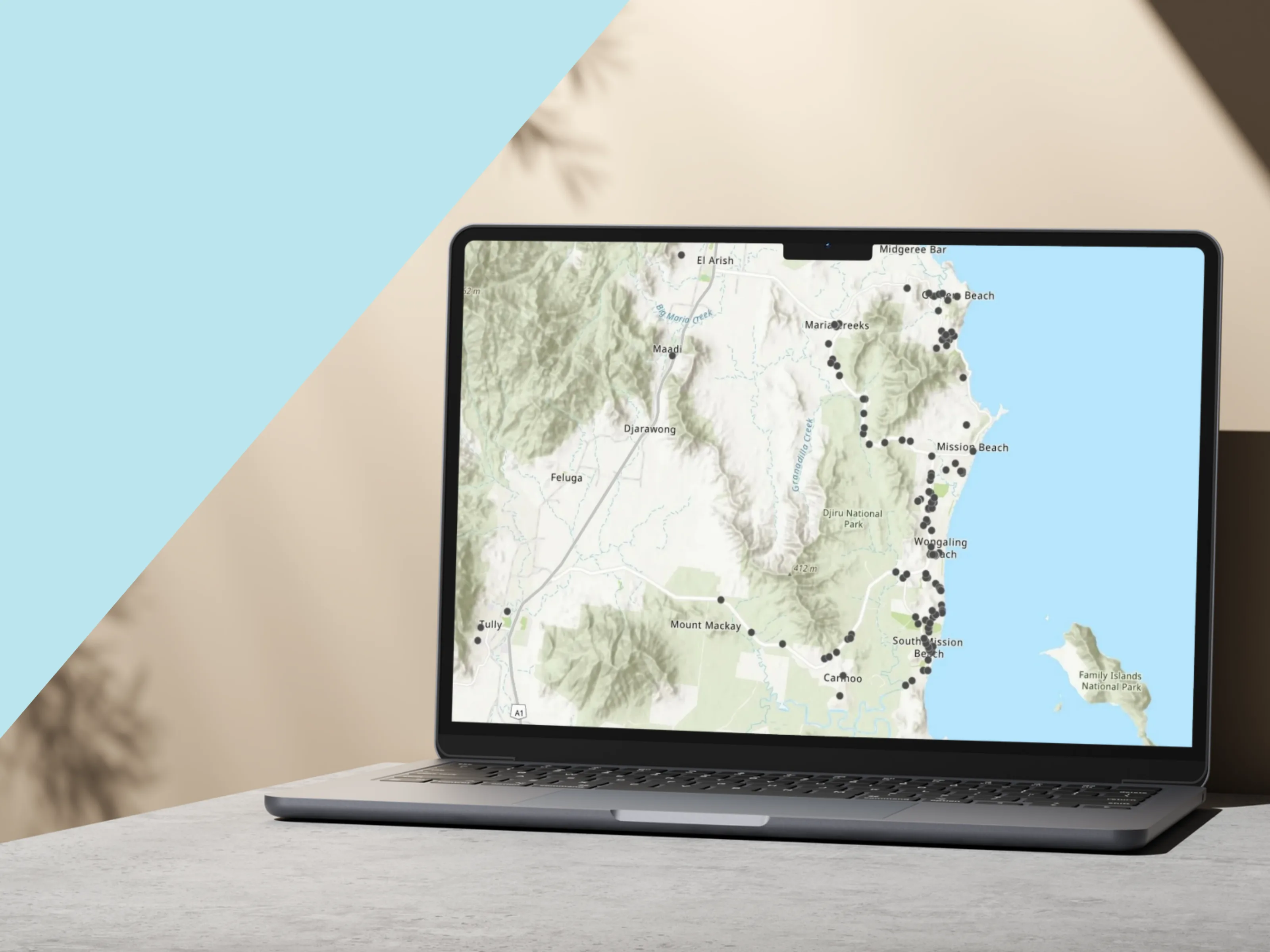
We partnered with Community for Coastal and Cassowary Conservation (C4) to digitise three decades of sightings with geospatial and GIS systems: an automated database for historic and new records, simple public logging tools, a drag-and-drop map for precise locations without coordinates, and ingestion from forms, email and social channels into a structured Supabase datastore via the C4 website API.
Impact
Thirty-plus years of community sightings became a structured database, geospatial analysis can surface habitat and movement patterns, multi-channel ingestion is automated, and a passionate local contributor network is re-engaged - the foundation for a real-time, publicly accessible monitoring tool.
What's next
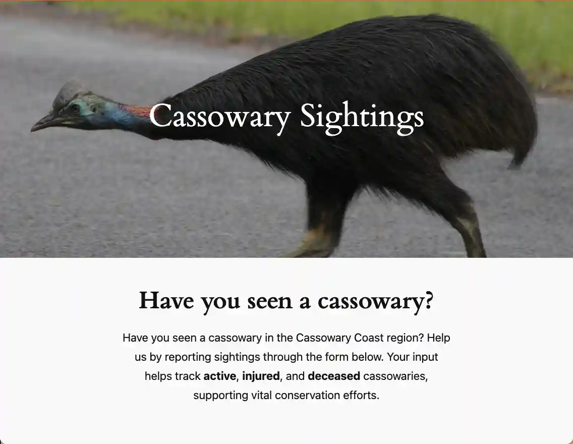
We're developing an open-data platform so sightings are usable for conservationists, planners and researchers, including sharing with platforms such as iNaturalist, the Atlas of Living Australia and GBIF. Future work includes image analysis to help identify individual birds and track movement across the landscape. Report a cassowary sighting →