Protecting what matters most
Digital strategy, Product design, Software engineering, Data systems & AI


The opportunity
Mission Beach contains Australia's second-largest area of lowland rainforest and the highest density of cassowaries in any urban setting. It is also home to a community that has led reef and rainforest conservation since the 1960s.
In recent years, that landscape has come under increasing pressure. Environmental decline has accelerated, Mission Beach has become a national hotspot for cassowary vehicle strikes, and anticipated population growth and coastal development could place further strain on already fragmented habitat.
At the same time, existing vegetation and corridor maps no longer reflected what residents and landholders were seeing on the ground. Important rainforest, regrowth and cassowary movement areas were missing or poorly represented, while overlapping planning rules were difficult to interpret and inconsistently applied. The community needed a clearer, shared picture of what mattered most, and where, so future planning could draw on both scientific evidence and the detailed knowledge held by the people who live there.
Our response
The project was led by Friends of Ninney Rise, with support from Cassowary Coast Regional Council, James Cook University, Terrain NRM, Marine Ecosystems Policy Advisors and local environmental and community groups.
Our role was to develop the GIS mapping layer, support project communications and work directly with the community to capture the detailed local knowledge that conventional datasets often miss. Through workshops and consultation, we brought together existing environmental data with observations about rainforest remnants, regrowth, creek systems, restoration areas and the routes cassowaries use across the landscape.
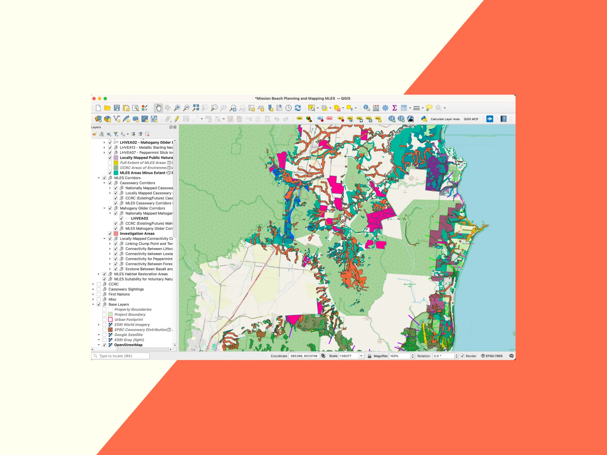
This work informed a proposed Matters of Local Environmental Significance layer for Mission Beach, covering areas of environmental value, wildlife corridors and opportunities for habitat restoration, with a particular focus on the urban footprint.
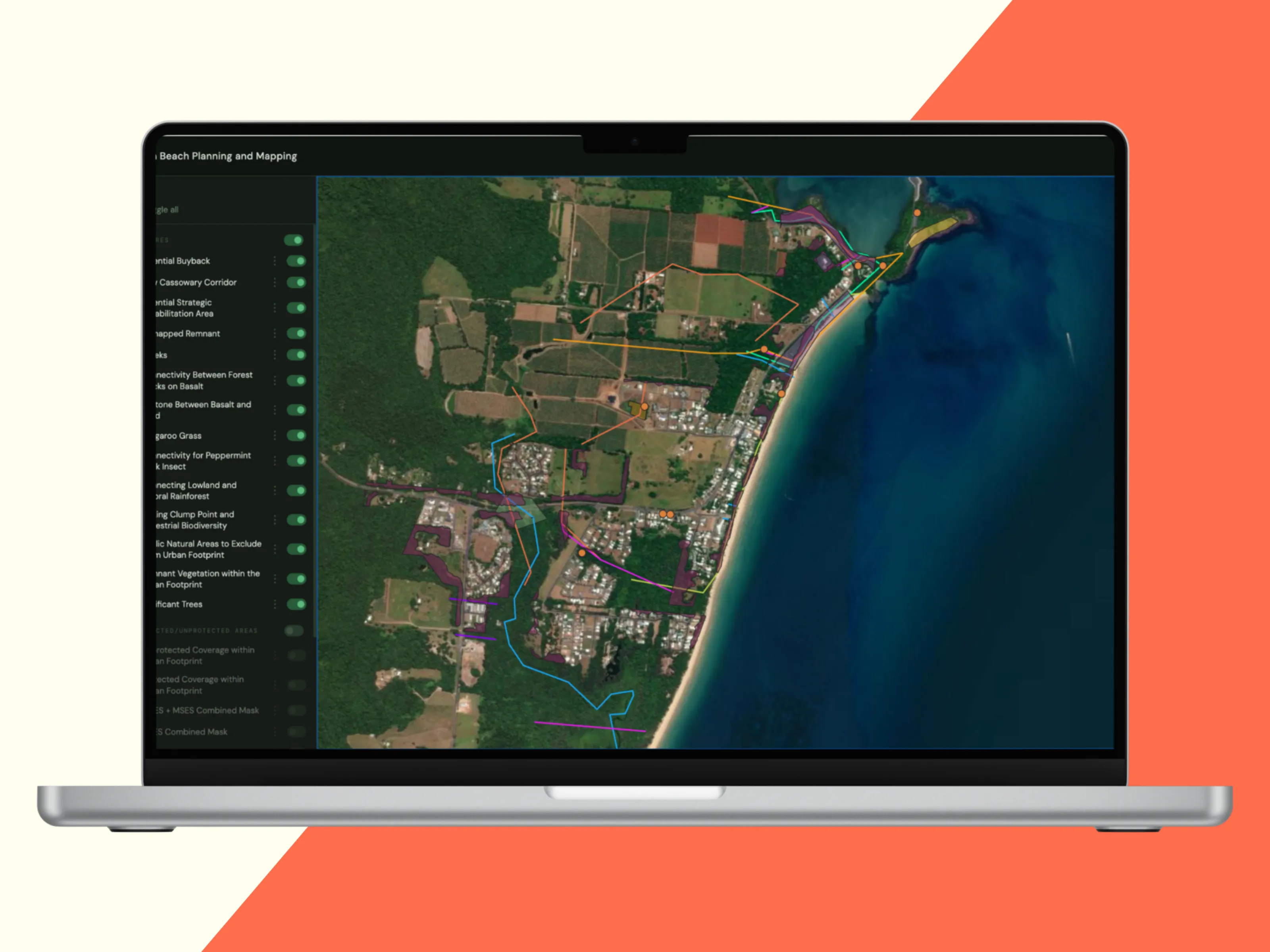
Specialist tools including QGIS and Queensland Globe remained central to the analysis. To make the resulting information easier for the wider community to understand and explore, we presented the data through a web-based mapping platform we had already developed for complex spatial projects. This allowed people to switch layers on and off, move through the landscape and examine individual areas without needing specialist GIS experience.
The result was not a static map handed down to the community, but a practical atlas that could be explored, tested and refined against what people were seeing on the ground.
Impact
Through the workshops and mapping process, residents and landholders were able to better understand planning rules, environmental overlays and protection gaps that had previously been difficult to interpret. Their stories also revealed edge cases that existing datasets and planning frameworks did not capture, including regrowth, creek systems, informal cassowary movement routes and sites where different rules produced unexpected outcomes.
This gave the project a richer and more accurate evidence base, while creating a shared language for discussing conservation, development and the future of Mission Beach.
The longer-term impact will come through the project's recommendations, including:
- A proposed Matters of Local Environmental Significance mapping layer
- Recommended updates to local planning codes
- A proposed package of incentives for landholders and developers
- A web-based map atlas combining scientific data and community knowledge
These will be presented to Cassowary Coast Regional Council later this year. The ambition is that they support better-informed planning decisions, stronger protection for significant habitat and, over time, a measurable reduction in the loss and fragmentation of Mission Beach's rainforest and wildlife corridors.
What's next
The mapping will now be refined through stakeholder and community review, then incorporated into the project's final Outcomes Report alongside the proposed planning code changes and incentives package.
The completed report will be presented to Cassowary Coast Regional Council later this year, with the aim of giving Council a practical, evidence-based foundation for stronger habitat protection, clearer planning decisions and better support for landholders.
We continue to support the project as the mapping is tested, updated and prepared for final delivery.