Google Maps
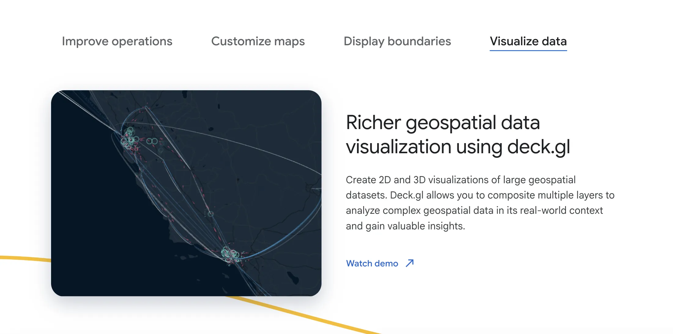
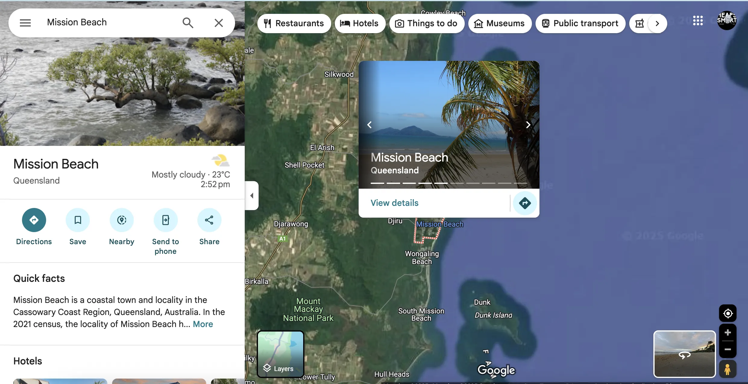
Google Maps is a tool that lets you add interactive maps and location features to websites or apps. Non-profits use it to show project locations, help people find nearby services or map out conservation areas.
Non-profit discount
Non-profits can apply for Google Maps Platform credits through the Google for non-profits programme, receiving up to USD $250/month in Maps API credit to help build location-based services and tools.
How to apply:
- Set up a free Google account for your workspace admin
- Visit the Google for non-profits website and click 'Get Started'
- Sign in with your workspace admin's Google account and complete the eligibility form
- Wait for verification by Google's partner, which typically takes 2–14 business days
- Once approved, activate Google Workspace for non-profits from your account dashboard
Heaps Smart recommended
Google Maps Platform can be a powerful resource for non-profits working with place-based data. We've used the Maps API in our citizen science apps and community reporting forms, helping people log sightings, issues, or activities in specific locations. It's also useful for building maps of service areas, visualising impact, or helping donors and volunteers find local projects. The $250 USD monthly credit through Google for Nonprofits covers a lot of usage, especially for small to medium-scale projects. There is some setup involved, and you may need a developer to get started, but once it's in place, it opens up a lot of possibilities for interactive, map-based tools.