QGIS
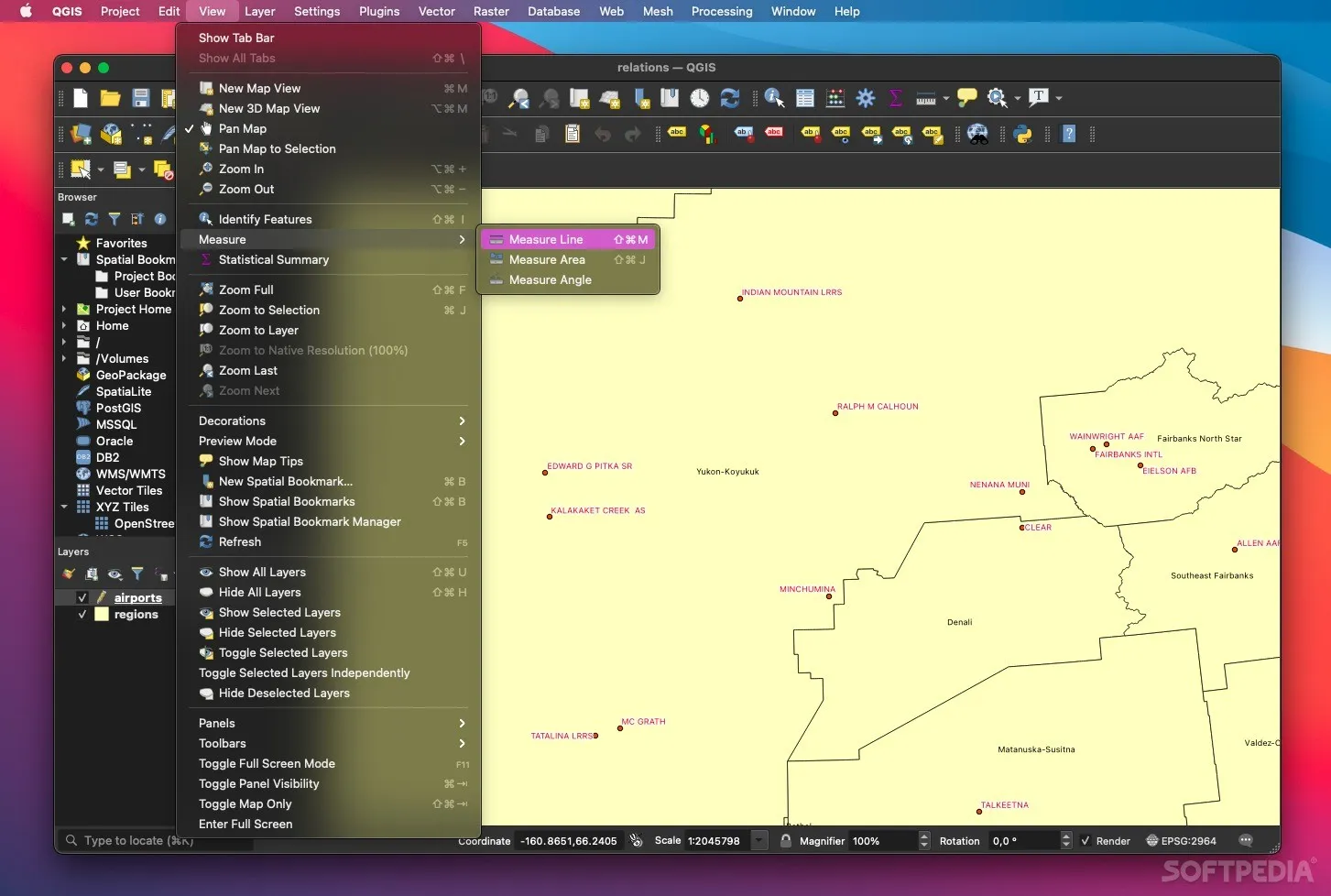
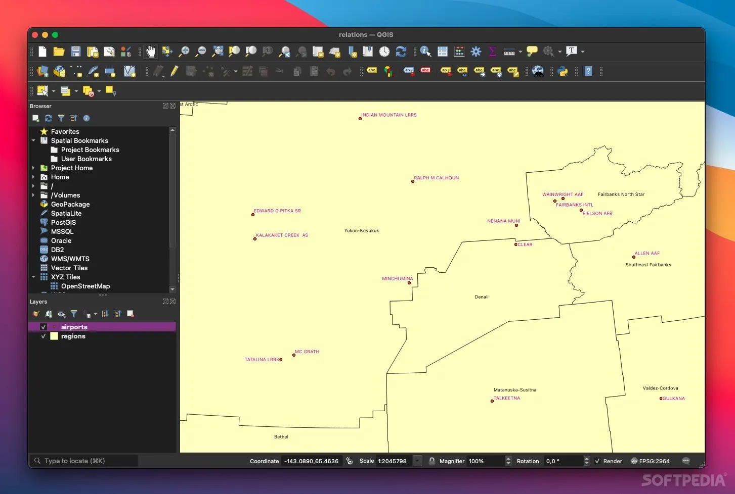
QGIS is a free, open-source geographic information system that provides professional mapping and spatial analysis capabilities. Non-profits use it to create maps, analyse environmental data, plan conservation projects, and visualise spatial information without the cost of commercial GIS software.
Non-profit discount
QGIS is completely free and open-source software developed by a community of volunteers and organisations.
Getting started:
- Download QGIS from the official website
- Choose the version that matches your operating system (Windows, Mac, Linux)
- Access extensive documentation and tutorials to get started
- Join the active community forums for support and tips
- Consider donating to support ongoing development if QGIS becomes valuable to your organisation
Heaps Smart recommended
QGIS is an excellent choice for non-profits that need professional GIS capabilities but have limited budgets. It's surprisingly powerful and can handle most of the same tasks as commercial GIS software. The learning curve is moderate, and there are plenty of free tutorials and resources available. The fact that it's completely free makes it accessible to any organisation, and the active community means regular updates and improvements. While the interface isn't as polished as some commercial alternatives, the functionality is solid and it supports all major data formats.